Land Surveying
Anderson Engineering offers a complete range of professional surveying services. We serve landowners, real-estate attorneys and engineering firms throughout the Midwest and government agencies nationwide.
Anderson Engineering offers a complete range of professional surveying services. We serve landowners, real-estate attorneys and engineering firms throughout the Midwest and government agencies nationwide.
Anderson has built a long-standing reputation of providing a growing full-service quality survey product line. The survey team consists of four land surveyors licensed in twelve states, a Certified Federal Land Surveyor, NSPS Certified Survey Technicians, Geographic Information System (GIS) specialists, talented CAD professionals and dedicated field crews.
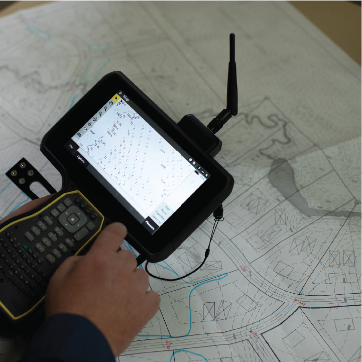
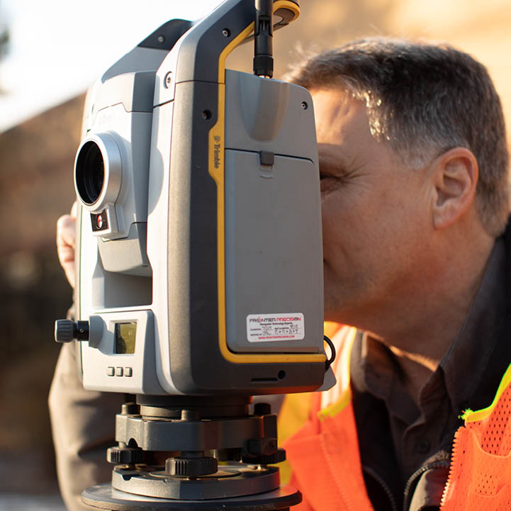
We take pride in our ability to quickly respond to client needs with top of the line equipment including: robotic total stations, GPS, digital levels and a single beam fathometer for hydrographic surveying. This equipment, together with a fleet of trucks, ATVs, UTVs, boats and snowmobiles, allows us to provide innovative and cost-effective solutions to our client’s needs.


Our survey staff has decades of experience surveying properties for property transactions and in support of development. Services we provide in support of properties and transactions include:
From concept design and planning to construction, land surveying plays an essential role in site development. Our surveys provide detailed information throughout your project area and are relied upon by engineers and other design professionals as the basis for their plan sets. Always striving for efficiency, our crews are experienced and equipped to perform:
Surveys are generally completed with a combination of robotic total stations and Global Positioning System (GPS) technology. Our office staff uses AutoCAD Civil 3D and MicroStation / Geopak to process and complete the survey drawings.
Our field crews are experts at interpreting construction plans and staking the locations of new improvements at a variety of sites, including:
Construction staking is performed to ensure the project is built as planned and includes rough grade staking as well as finite feature layout.
We complete post-construction as-built surveys when required and perform horizontal or vertical deformation monitoring at sensitive sites throughout the construction period.