Environmental Services
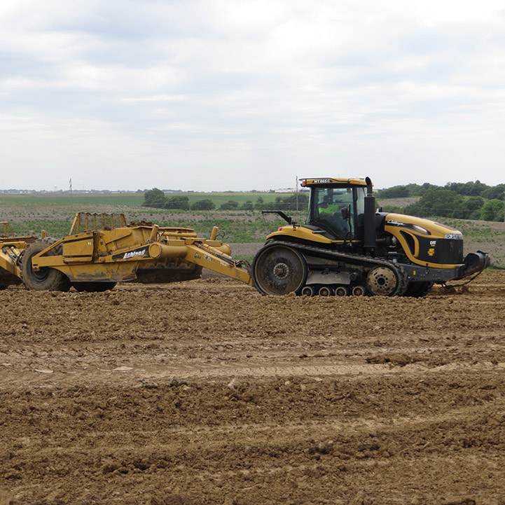
Anderson’s environmental scientists and planners provide expertise for a wide range of projects. We balance project needs with environmental protection and find thoughtful solutions for our clients.
Anderson’s environmental scientists and planners provide expertise for a wide range of projects. We balance project needs with environmental protection and find thoughtful solutions for our clients.
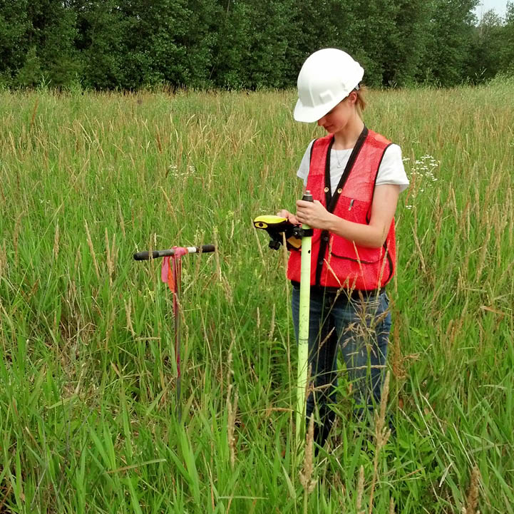
Anderson’s natural resource scientists have a broad range of training and experience in all facets of natural resource management, performing exceptional quality work by utilizing the latest technology and standardized templates. We serve a wide range of clients in federal, state and private sectors. Scientists are members of local and national professional organizations as well as certified Minnesota Wetland Delineators. We offer a full range of natural resource services, and our involvement ranges from initial feasibility studies through project implementation and post-project monitoring.
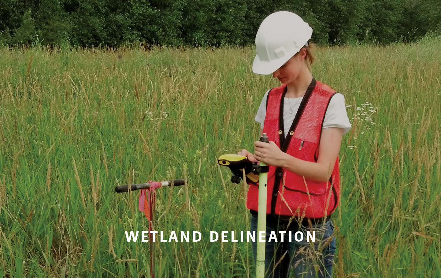
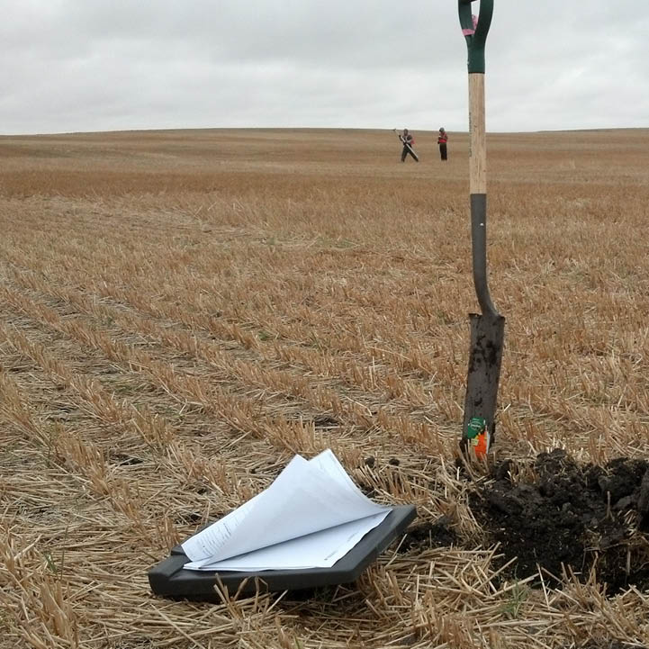
Wetlands can be regulated by federal, state and local regulations. Knowing whether wetlands are present, their physical extent and what regulations apply is critical to planning and implementing any project.
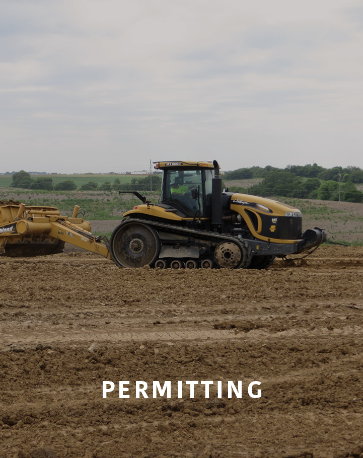
Anderson’s scientists help navigate federal, state and local regulations enacted to protect wetlands and waterways. Our experienced team will complete the proper applications to ensure permits are obtained in a timely manner, helping to avoid expensive delays.
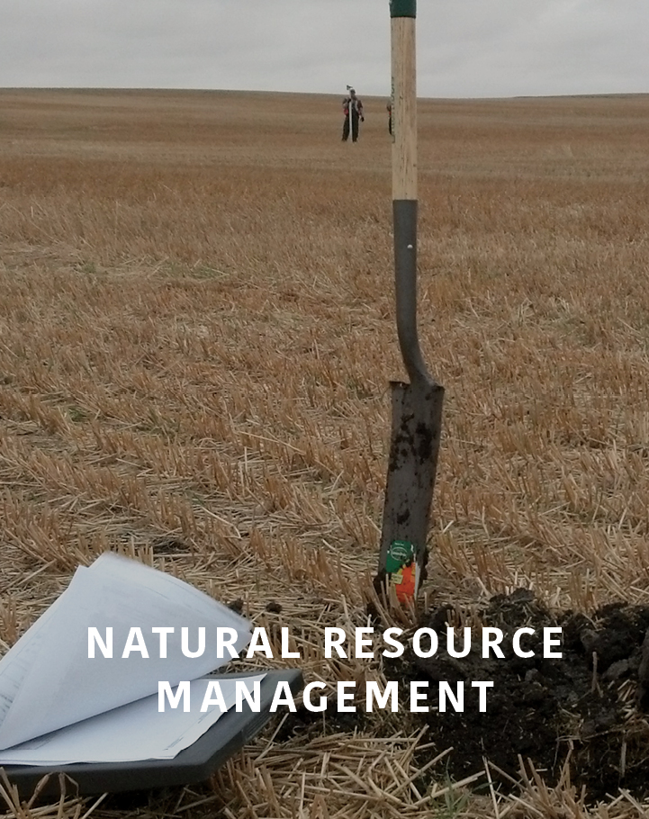
Anderson provides various natural resource services including threatened and endangered (T&E) species services, habitat assessments, presence/absence assessments, vegetation establishment and management plans, and conservation design plans for private and public development or construction projects.
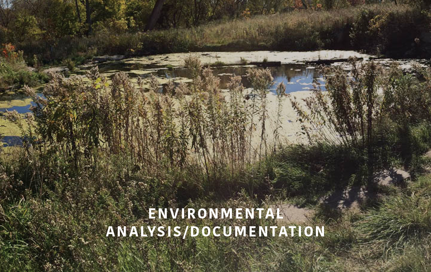
Anderson’s scientists and planners have experience preparing environmental documentation to meet federal, state and local requirements. Our multi-disciplined staff is able to conduct analysis, identify issues and leverage technical experts when necessary resulting in successful, effective environmental documentation leading to successful projects.

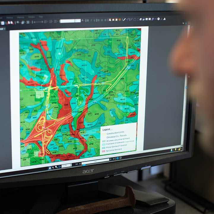
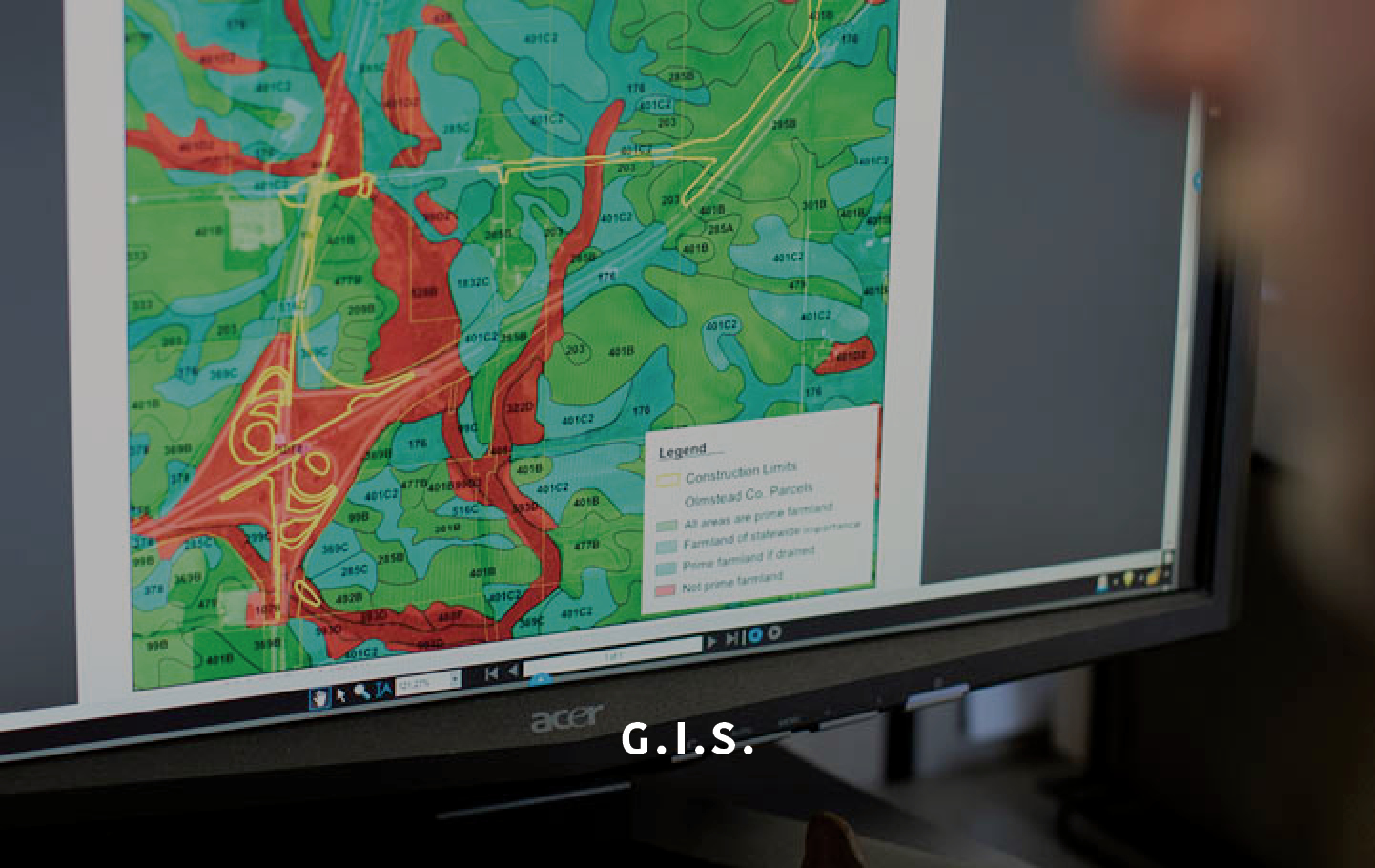
A Geographic Information System (GIS) is a framework for gathering, managing and analyzing data. With roots in the science of geography, GIS integrates many data types. It analyzes spatial location and organizes layers of information into visualizations using maps and 3D scenes. With this unique capability, GIS reveals patterns, relationships and situations — which leads to making smarter decisions.